Hiking trails in the Eifel: Traumpfade from the Waldsee
 Familie Hahn
Your hosts at Waldsee Rieden
4 min read
Familie Hahn
Your hosts at Waldsee Rieden
4 min read
Introduction
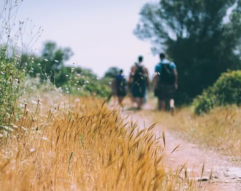
Around the Riedener Waldsee lies one of the densest networks of premium walking trails in Germany. The trails are called Traumpfade — 27 circular routes in all, plus 14 shorter Traumpfädchen, certified by the Deutsches Wanderinstitut.
Some context, because it often gets muddled: these trails belong to the Traumpfadeland Rhein-Mosel-Eifel in the district of Mayen-Koblenz. They are not in the district of Vulkaneifel, which begins around 40 kilometres to the west.
Straight from the front door
Waldseepfad Rieden
| Length | 14.2 km |
|---|---|
| Walking time | around 4:30 hours |
| Ascent in metres | 464 |
| Difficulty | moderate |
| Start | Am Waldsee car park, 56745 Rieden |
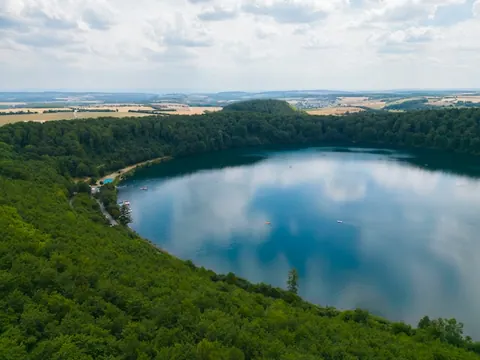
The trail begins right at the lake. The high point is the climb to the Gänsehalsturm — the tower is 74 metres high, and the viewing platform at 24 metres is reached by 108 steps.
Worth knowing when you plan: the tower is closed from the start of the frost period until Easter. There is hardly anywhere to stop for food along the way, so take supplies with you.
Traumpfädchen Riedener Seeblick
Around 5 kilometres, graded easy. It stays close to the lake and works with smaller children too. The right choice for arrival day, or for a morning.
A short drive away
Traumpfad Vulkanpfad: approx. 8 km away
Starts at the Hochsimmerhalle in Ettringen. It runs over the Bellberg and the Kottenheimer Büden and past the “Sieben Stuben", shelter caves from the Second World War. The old basalt quarries give this trail a landscape all of its own, and it is at its finest in autumn light.
Traumpfad Monrealer Ritterschlag: approx. 15 km away
| Length | 13.7 km |
|---|---|
| Walking time | around 5 hours |
| Ascent in metres | 508 |
| Difficulty | difficult |
Starts in Monreal. The grading “difficult" is meant seriously — steep sections, and considerably more demanding than the Waldseepfad. In return, it is one of the best-known trails in the region.
A second Traumpfad, the Hochbermeler, also starts near Monreal.
Laacher See lakeside circuit: approx. 9 km away
| Length | 8.4 km |
|---|---|
| Walking time | around 2 hours |
| Difficulty | easy |
Right around the Laacher See, largely flat and close to the water. The easiest of the trails named here, and the one that gives the most back for the effort, because along the way you see the mofettes: bubbles of gas rising from the dormant volcano.
If you want more, take the ridge circuit ML 1 over the crater rim: 14.1 km, 270 metres of ascent, 3.5 to 4.5 hours, passing the Lydiaturm tower of 1927 on the way.
Sorted by difficulty
Easy — with children too, or after a long break from walking
- Traumpfädchen Riedener Seeblick (5 km)
- Laacher See lakeside circuit (8.4 km)
Moderate — for a full day’s walking
- Waldseepfad Rieden (14.2 km, 464 m ascent)
- Laacher See ridge circuit (14.1 km, 270 m ascent)
Difficult — for the fit, in proper boots
- Monrealer Ritterschlag (13.7 km, 508 m ascent)
The great long-distance trails
If you want to walk several days in a row, there are three top-rated long-distance trails within reach:
- Eifelsteig — 313 km in 15 stages, Aachen to Trier. The stages run between 14 and 28 kilometres.
- Rheinsteig — on the right bank of the Rhine, from Bonn to Wiesbaden
- RheinBurgenWeg — on the left bank of the Rhine, from Remagen to Bingen
You can tackle all three stage by stage from the Waldsee: drive out, walk a stage, drive back.
Walking with a dog
All the trails named here work with a dog on the lead. What does not work is the bathing area at the Riedener Waldsee, where dogs are not allowed at any time of year.
The details are in Dog-friendly holiday home in the Eifel.
Current closure
The best time of year to walk
May and June — fresh green, long days, moderate temperatures Mid-September to the end of October — leaf colour and the most settled spell of weather in the year November to March — bare trees, but long views; the underrated season July and August — warm, at times humid, so start early
There is more on that in The Eifel in autumn.
FAQs
Which walking trail starts right at the Riedener Waldsee?
The Waldseepfad Rieden, a certified Traumpfad of 14.2 kilometres with 464 metres of ascent. For a shorter circuit there is the Traumpfädchen Riedener Seeblick of around 5 kilometres.
What is the difference between a Traumpfad and a Traumpfädchen?
The Traumpfade are the longer circular routes, usually 7 to 18 kilometres. The Traumpfädchen are the shorter version at 3 to 7 kilometres, flatter and as a rule walkable in under two hours.
Are there easy walking trails in the Eifel?
Yes. The lakeside circuit at the Laacher See (8.4 km, largely flat) and the Traumpfädchen Riedener Seeblick (5 km) suit families and walkers who are out of practice.
Are the walking trails waymarked?
The Traumpfade carry the premium walking trail certificate of the Deutsches Wanderinstitut, and continuous waymarking is part of that certification. A map or an app as a fallback is still worth having.
Where can you stop for food along the way?
Hardly anywhere on the Waldseepfad, so take supplies with you. At the start and finish are the Eifeler Seehütte (closed on Mondays) and the Al Lago (closed on Tuesdays, and on weekdays it does not open until 17:00).
Your base for exploring
This destination is within easy reach of our holiday homes
Three holiday homes with their own outdoor sauna, whirlpool bath and wood-burning stove on the Sonnenterrasse by the Riedener Waldsee. This is where every day out in the Eifel begins.
Familie Hahn
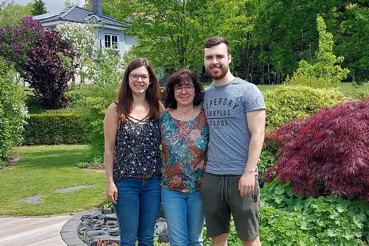
Susanne, Carmen and David Hahn rent out the three holiday homes on the Sonnenterrasse in Rieden and have known the Eifel for more than ten years.